ATTransUNet: Semantic Segmentation Model for Building Segmentation from Aerial Image and Laser Data
DOI:
https://doi.org/10.5617/nmi.10039Keywords:
artificial intelligence, machine learning, deep learning, building segmentation, aerial image, lidarAbstract
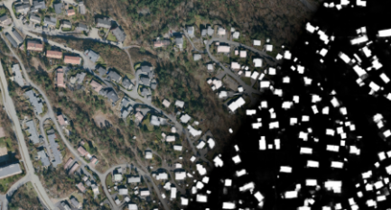
The segmentation of buildings using aerial images and laser data (LIDAR) is a key area of study in computer vision and artificial intelligence. In this paper, we proposed a new deep learning-based framework architecture based on U-Net for the MapAI competition, which required participants to perform two tasks for segmenting buildings. On segmentation task 1, our model achieved an Intersection-over-Union (IoU) score of 0.7551 and a Boundary Intersection-over-Union (BIoU) score of 0.5613. On segmentation task 2, our model achieved an IoU score of 0.8555 and a BIoU score of 0.7127. These results demonstrate that our proposed method achieves competitive IoU and BIoU accuracies in building segmentation.
Downloads
Published
Issue
Section
License
Copyright (c) 2022 Nordic Machine Intelligence

This work is licensed under a Creative Commons Attribution 4.0 International License.


