
Building Segmentation from Remote Sensing Data using Enhanced U-Net
DOI:
https://doi.org/10.5617/nmi.10157Keywords:
image segmentation, machine learning, remote sensingAbstract
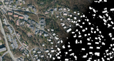
In this paper, a simple boundary-enhanced network and a new multi-task loss function are proposed for building segmentation from multiple remote sensing sources. The experimental results on MapAI-challenge dataset demonstrates that our network can segment buildings from remote sensing data, especially on the image & laser multi-source dataset. The mean score of IoU and BIoU is 0.8995 for task 1 and 0.9155 for task 2 on the MapAI validation dataset and 0.5239 for task 1, and 0.7038 for task 2 on the MapAI test dataset.
Downloads
Published
2023-03-27 — Updated on 2023-10-27
Versions
- 2023-10-27 (2)
- 2023-03-27 (1)
Issue
Section
NMI Challenge
License
Copyright (c) 2022 Nordic Machine Intelligence

This work is licensed under a Creative Commons Attribution 4.0 International License.