
Our MapAI approach: focusing on data pipeline and loss functions
DOI:
https://doi.org/10.5617/nmi.10161Keywords:
artificial intelligence, machine learning, deep learning, segmentation, building detectionAbstract
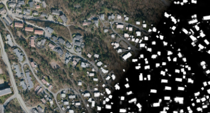
Precision building detection is a difficult challenge because resolution, lighting conditions, and image quality greatly influence the performance of machine learning models. Additionally, the building types, settlement structure, road structure, soil color and texture, vegetation, and car types can also affect image segmentation, making the solutions local or regional. In this paper, we describe the solution for the MapAI challenge submitted by the ATELIER team. We focused on two primary parts: data processing and loss functions. Our main insights were that the data can be effectively resampled by exploiting its structure and that the boundary intersection over union metric is very forgiving, not giving the network enough incentive to refine the borders. The segmentation was performed with a standard 5-level deep U-Net with an additional conditional random fields (CRF) denoiser.
Downloads
Published
Issue
Section
License
Copyright (c) 2022 Nordic Machine Intelligence

This work is licensed under a Creative Commons Attribution 4.0 International License.